We acknowledge the traditional custodians of the land throughout the Murchison GeoRegion – the Yamatji people. This includes the Badimia, Wajarri, Yugunga-Nya and Martu people. We recognise their continuing connection to the land, skies, waters and culture, and pay our respects to them and to Elders past, present and emerging.
Where is the Murchison GeoRegion?
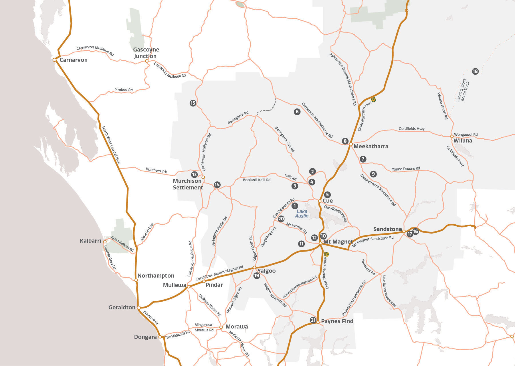
21 sites of natural and cultural significance for you to explore
Take a self-drive journey through a unique and ancient landscape full of stories dating back to the Earth’s beginning around 4.54 billion years ago and visit sites of national and international, natural and cultural significance.
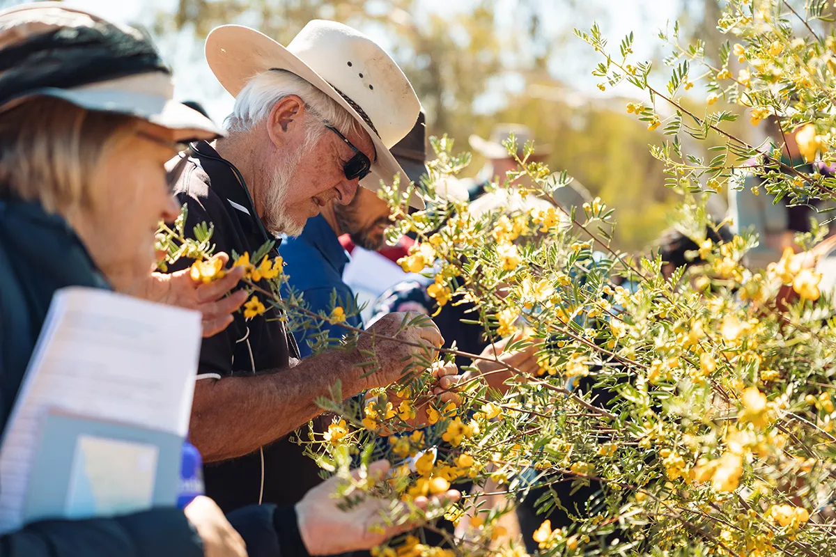
While you are there, witness the effect on the land of the massive geological forces of colliding continents, long-gone oceans and destructive meteorites. Discover the unique native flora and fauna of the Mulga Shrublands and be treated to a dazzling annual display of wildflowers from July to September. Connect with culture, stories and legends that map thousands of years of human history.
All this and more awaits when you explore the Murchison GeoRegion in the heart of the outback, Western Australia.
Visit the Murchison GeoRegion for events & attractions
Consider travelling in August or September to take in the sites, Western Australian wildflowers and enjoy unique events hosted by shires throughout the Murchison GeoRegion.
2025 Murcison Camp Muster Image courtesy of the Murchison Shire
Plan ahead
It’s important to plan ahead, and Visitor Information Centres in Murchison GeoRegion towns can provide you with information on current road conditions, accommodation options and attractions in the region. While you will get off the beaten track, most sites are accessible by 2WD vehicles (weather and conditions permitting). Click below to learn more.
The Murchison GeoRegion is gaining attention from a variety of media outlets who focus on travel and tourism. Take a look at where we’ve been published.
Australia's First GeoRegion
Read about how our vision to create Australia’s first GeoRegion came to fruition as reported in Statewide Magazine by Local Government Professionals Australia.
Connect with culture, stories and legends that map thousands of years of human history.
Download the Murchison GeoRegion app for site information on the go!
Thank you!
The travel guide is full of information about the geosites and local services to help you plan your trip before you head out. For more information please get in touch with a visitor centre in the region.
We hope to see you in the Murchison GeoRegion soon.